Additional Maps/Counters
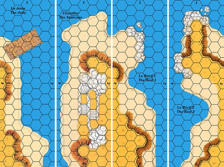
Set of 4 mini-maps usable with any coast map.
The map meets the Cry Havoc standard, is printed in high definition (300 dpi) and on a strong varnished cardboard similar to that of the original maps.
This map is a component of the GUISCARD 2 boxed set.
This double-map of the famous Crac des Chevaliers in Syria offers an additional map with an underground ramp allowing access to the interior of the castle.
The maps meet the Cry Havoc standard, qre printed in high definition (300 dpi) and on a strong varnished cardboard similar to that of the original maps.
This double map is a component of the MONTGISARD boxed set.
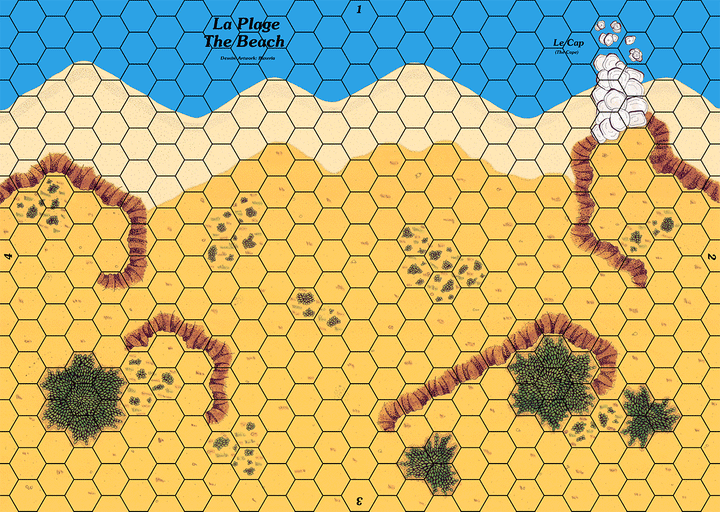
Map showing a coast with a beach protected by embankments.
The map meets the Cry Havoc standard, is printed in high definition (300 dpi) and on a strong varnished cardboard similar to that of the original maps.
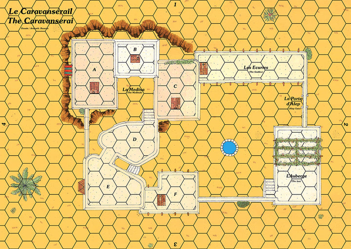
The map displays a courtyard surrounded by stables and an inn. A covered passage provides access to a small medina located higher up.
The map meets the Cry Havoc standard, is printed in high definition (300 dpi) and on a strong varnished cardboard similar to that of the original maps.
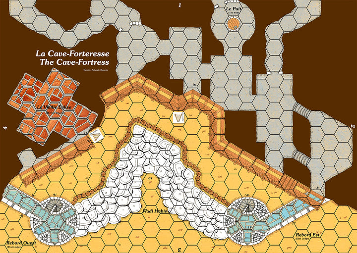
Provided with an historical background in English or French of the real cave of El Habis Jaldak and 2 scenarios.
The map meets the Cry Havoc standard, is printed in high definition (300 dpi) and on a strong varnished cardboard similar to that of the original maps.
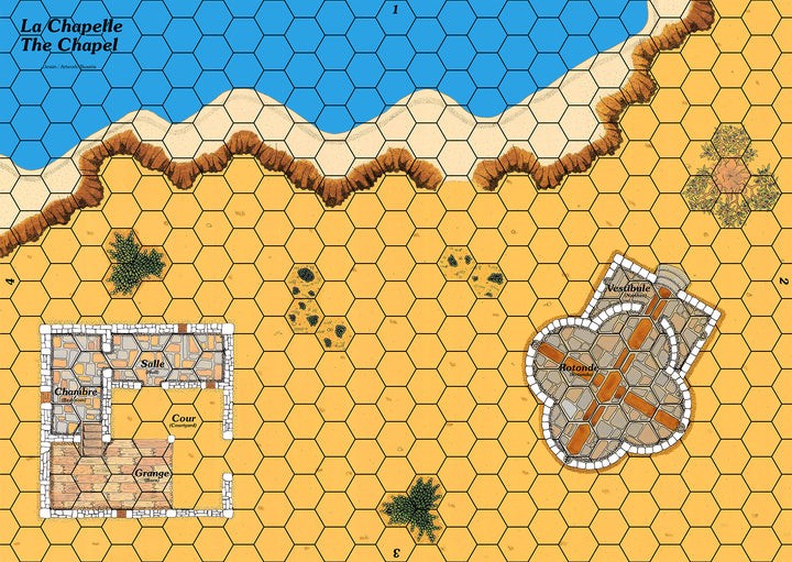
Map depicting a Byzantine chapel and a Lombard farm.
Coastal map compatible with mini junction maps and any other terrain or coastal map.
This map is included in the GUISCARD 2 boxed set
The map meets the Cry Havoc standard, is printed in high definition (300 dpi) and on a strong varnished cardboard similar to that of the original maps.
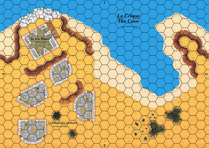
Map showing a coast with a cove dominated by a watchtower and some dwellings.
The map meets the Cry Havoc standard, is printed in high definition (300 dpi) and on a strong varnished cardboard similar to that of the original maps.
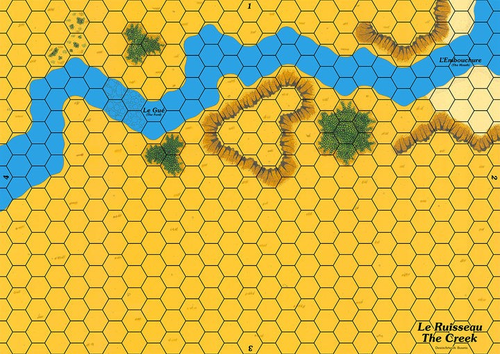
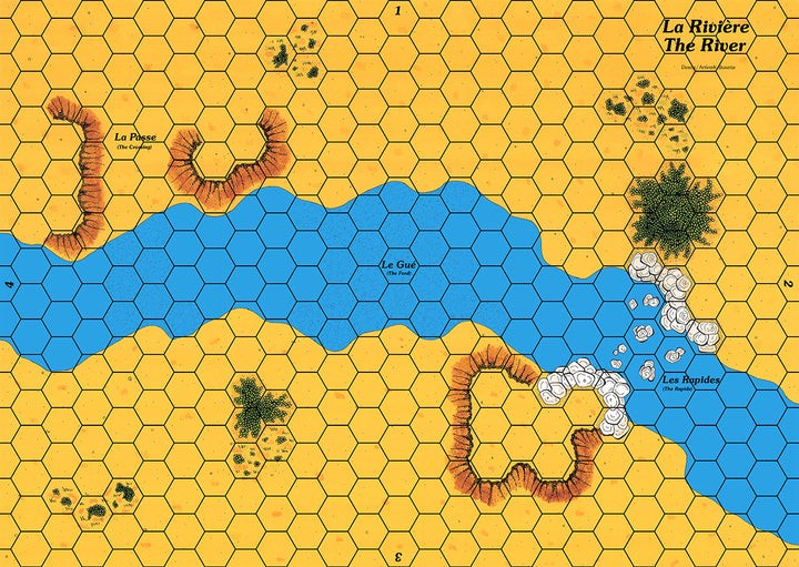
The map represents a stream that meanders in a plain and which is crossed by a ford.
The map meets the Cry Havoc standard, is printed in high definition (300 dpi) and on a strong varnished cardboard similar to that of the original maps.
This map is a component of the THE ANARCHY boxed set.
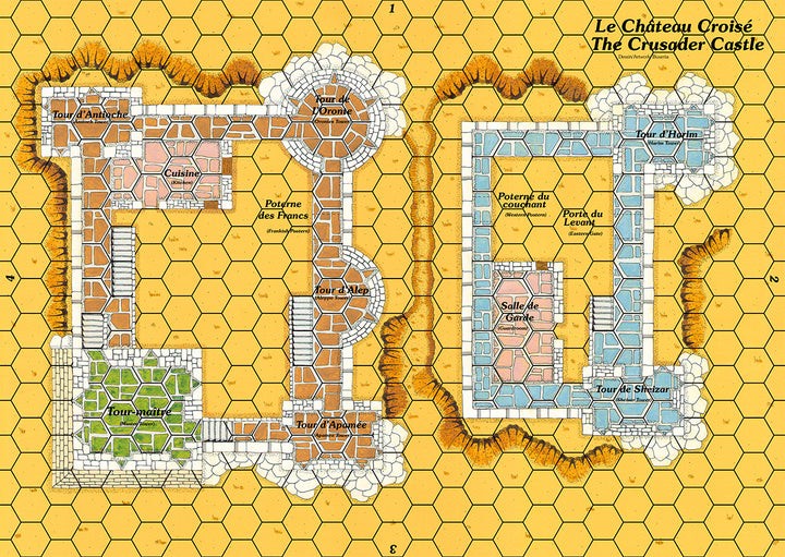
Map showing a double castle, typical of the fortifications in the Holy Land at the time of the Crusades. The plan is inspired by Arima Castle in Lebanon.
The map meets the Cry Havoc standard, is printed in high definition (300 dpi) and on a strong varnished cardboard similar to that of the original maps.
This map is a component of the AGER SANGUINIS boxed set.
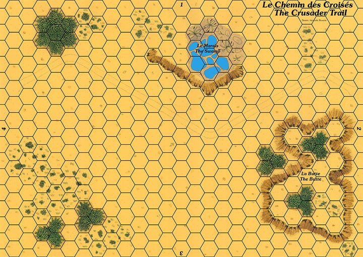
Map showing a trail in a plain with a pond and a mound.
The map meets the Cry Havoc standard, is printed in high definition (300 dpi) and on a strong varnished cardboard similar to that of the original maps.
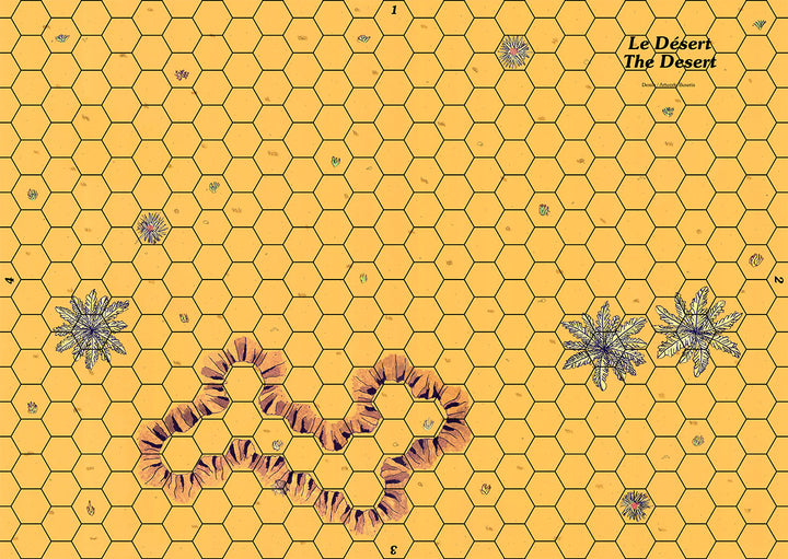
Map depicting a desert landscape with some palm trees and a mound.
The map meets the Cry Havoc standard, is printed in high definition (300 dpi) and on a strong varnished cardboard similar to that of the original maps.
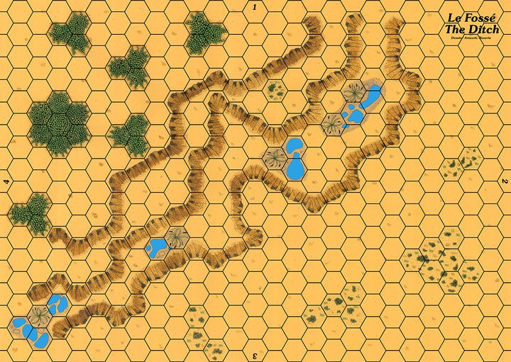
This map depicts a large ditch with marshy areas around.
The map meets the Cry Havoc standard, is printed in high definition (300 dpi) and on a strong varnished cardboard similar to that of the original maps.
This map is a component of the DIEX AÏE boxed set.
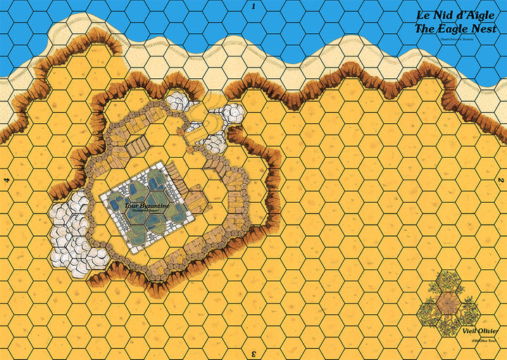
Map showing a stone tower protected by a wooden palisade and overlooking a coast.
The map meets the Cry Havoc standard, is printed in high definition (300 dpi) and on a strong varnished cardboard similar to that of the original maps.
This map is a component of the GUISCARD 2 boxed set.
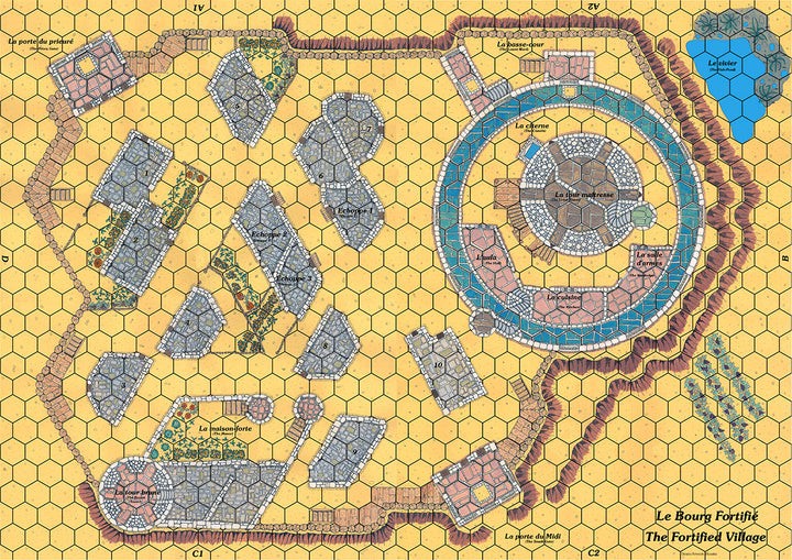
Double map representing a circular castle and its village defended by a wooden palisade.
The plan is inspired by the castle of Avalon in the Dauphiné region of south-eastern France.
The maps meet the Cry Havoc standard, are printed in high definition (300 dpi) and on a strong varnished cardboard similar to that of the original maps.
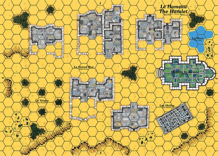
Map representing a village grouped around its church.
The map meets the Cry Havoc standard, is printed in high definition (300 dpi) and on a strong varnished cardboard similar to that of the original maps.
Map showing the side of a hill, perfect for simulating scenarios such as the Battle of Hastings.
The map meets the Cry Havoc standard, is printed in high definition (300 dpi) and on a strong varnished cardboard similar to that of the original maps.
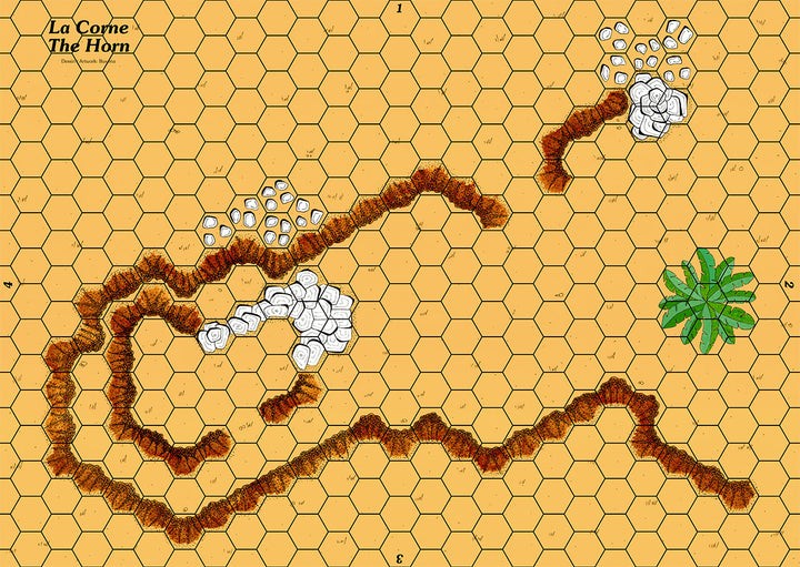
This map is inspired by the famous Horns of Hattin which saw the defeat of the army of King Gui de Lusignan against Saladin.
The map meets the Cry Havoc standard, is printed in high definition (300 dpi) and on a strong varnished cardboard similar to that of the original maps.
This map is a component of the MONTGISARD boxed set.
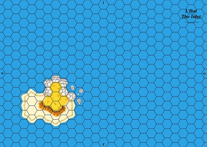
Map of an ocean with a small island.
The map meets the Cry Havoc standard, is printed in high definition (300 dpi) and on a strong varnished cardboard similar to that of the original maps.
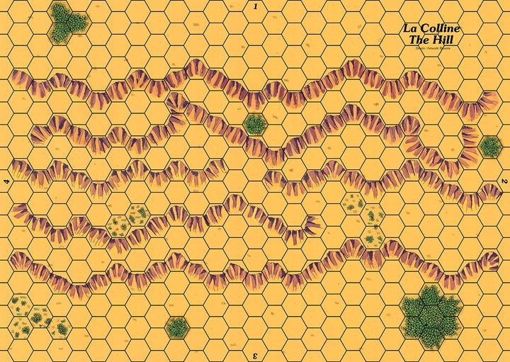
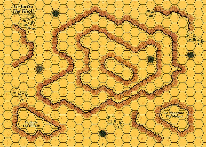
Map depicting a hill with slopes on either side.
The map meets the Cry Havoc standard, is printed in high definition (300 dpi) and on a strong varnished cardboard similar to that of the original maps.
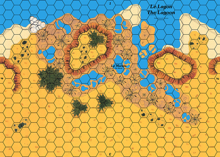
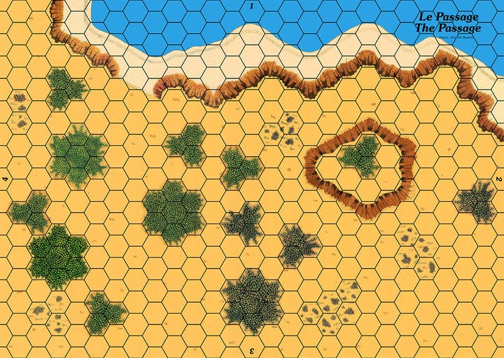
Map showing a coast with many swamps.
The map meets the Cry Havoc standard, is printed in high definition (300 dpi) and on a strong varnished cardboard similar to that of the original maps.
This map is a component of the GUISCARD 2 boxed set.
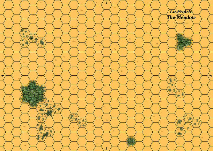
Map showing flat land with sparse vegetation.
The map meets the Cry Havoc standard, is printed in high definition (300 dpi) and on a strong varnished cardboard similar to that of the original maps.
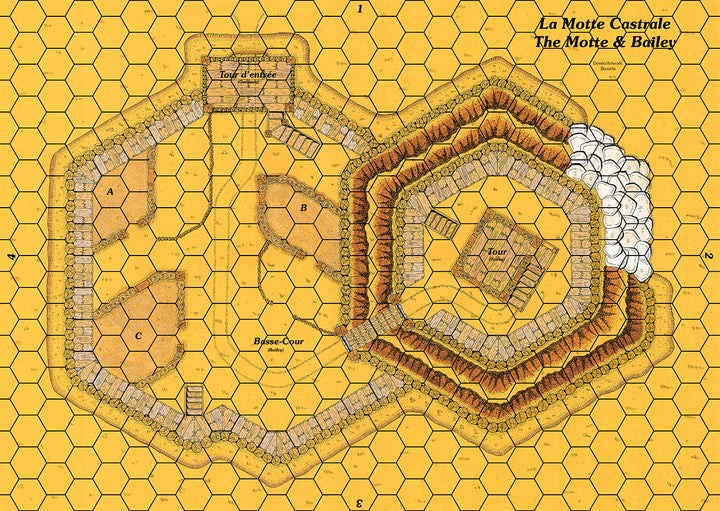
This map represents a wooden tower at the top of a motte overlooking a bailey. This typical 11th century fortification was widely used by the Normans to extend their domination over England.
The map meets the Cry Havoc standard, is printed in high definition (300 dpi) and on a strong varnished cardboard similar to that of the original maps.
This map is a component of the DIEX AÏE boxed set.
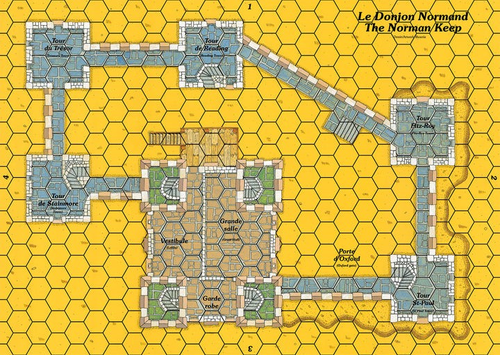
Map of a castle with the typical architecture of 12th century buildings, with its square towers and massive keep.
The map meets the Cry Havoc standard, is printed in high definition (300 dpi) and on a strong varnished cardboard similar to that of the original maps.
This map is a component of the THE ANARCHY boxed set.
Coastal map compatible with mini junction maps and any other terrain or coastal map.
The map meets the Cry Havoc standard, is printed in high definition (300 dpi) and on a strong varnished cardboard similar to that of the original maps.
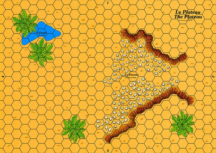
Map representing a stone field near a water point.
The map meets the Cry Havoc standard, is printed in high definition (300 dpi) and on a strong varnished cardboard similar to that of the original maps.
This map is a component of the AGER SANGUINIS boxed set.
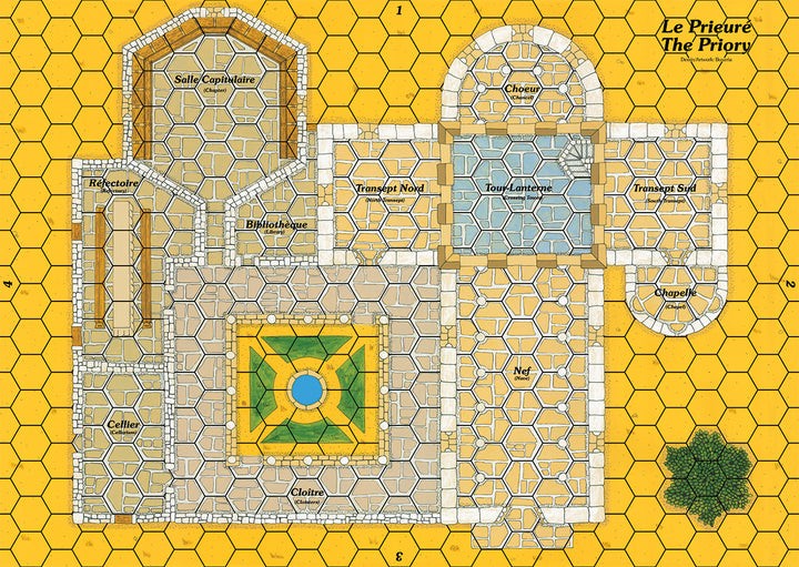
Map showing a priory with its church and cloister, which can be used as a fortified site if necessary.
The map meets the Cry Havoc standard, is printed in high definition (300 dpi) and on a strong varnished cardboard similar to that of the original maps.
This map is a component of the THE ANARCHY boxed set.
Map showing flat land cut through by a river that crosses at a ford.
The map meets the Cry Havoc standard, is printed in high definition (300 dpi) and on a strong varnished cardboard similar to that of the original maps.
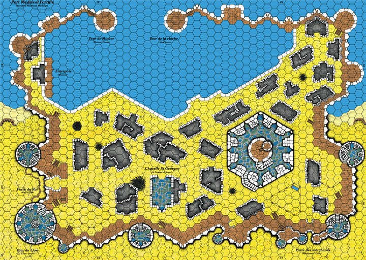
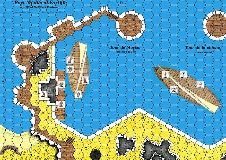
The FORTIFIED HARBOR is made up of 4 maps designed by Jean-Michel Clément. The port itself occupies 2 maps, with its warehouse and its pier, and it is closed towards the sea by a rampart with two towers. The small adjoining town contains a church and medieval gardens. On each side of the port, the coast hexes are designed to be connected to the other Coast maps featured in VIKINGS. The main buildings are called the King's Gate, the Merchant's Gate and the Lion's Tower.
These 4 maps have been reconstructed from the original files, with their hex grid.
These maps meet the Cry Havoc standard, are printed in high definition (300 dpi) and on a strong varnished cardboard similar to that of the original maps.

.jpg)
