
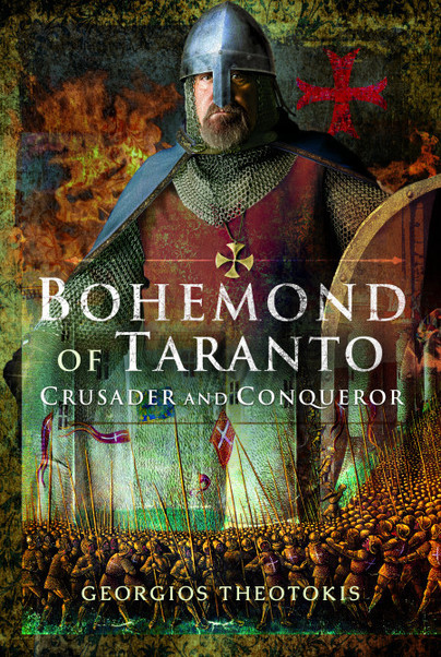
Bohemond of Taranto, Lord of Antioch, unofficial leader of the First Crusade, was a man of boundless ambition and inexhaustible energy he was, in the words of Romuald of Salerno, always seeking the impossible. While he failed in his quest to secure the Byzantine throne, he succeeded in founding the most enduring of all the crusader states. Yet few substantial accounts of the life of this remarkable warrior have been written and none have been published in English for over a century and that is why this absorbing new study by Georgios Theotokis is of such value.
He concentrates on Bohemond as a soldier and commander, covering his contribution to the crusades but focusing in particular on his military achievements in Italy, Sicily, the Balkans and Anatolia. Since medieval commanders generally receive little credit for their strategic understanding, he examines Bohemonds war-plans in his many campaigns, describes how he adapted his battle-tactics when facing different opponents and considers whether his approach to waging war was typical of the Norman commanders of his time.
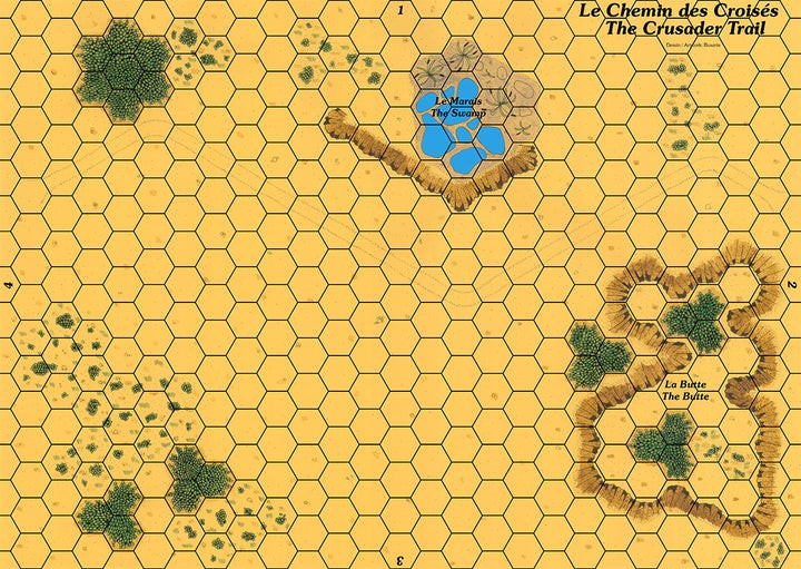
Map showing a trail in a plain with a pond and a mound.
The map meets the Cry Havoc standard, is printed in high definition (300 dpi) and on a strong varnished cardboard similar to that of the original maps.
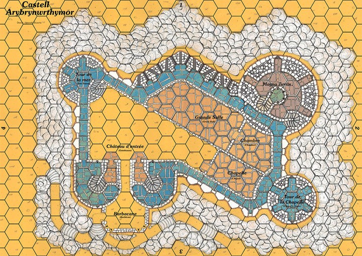
Map showing a castle with the architecture typical of the fortresses King Edward I of England built at the beginning of the 14th century to control Wales .
The name Castell Arybrynwrthymôr means "castle on the hill by the sea" in Welsh,
The map meets the Cry Havoc standard, is printed in high definition (300 dpi) and on a strong varnished cardboard similar to that of the original maps.