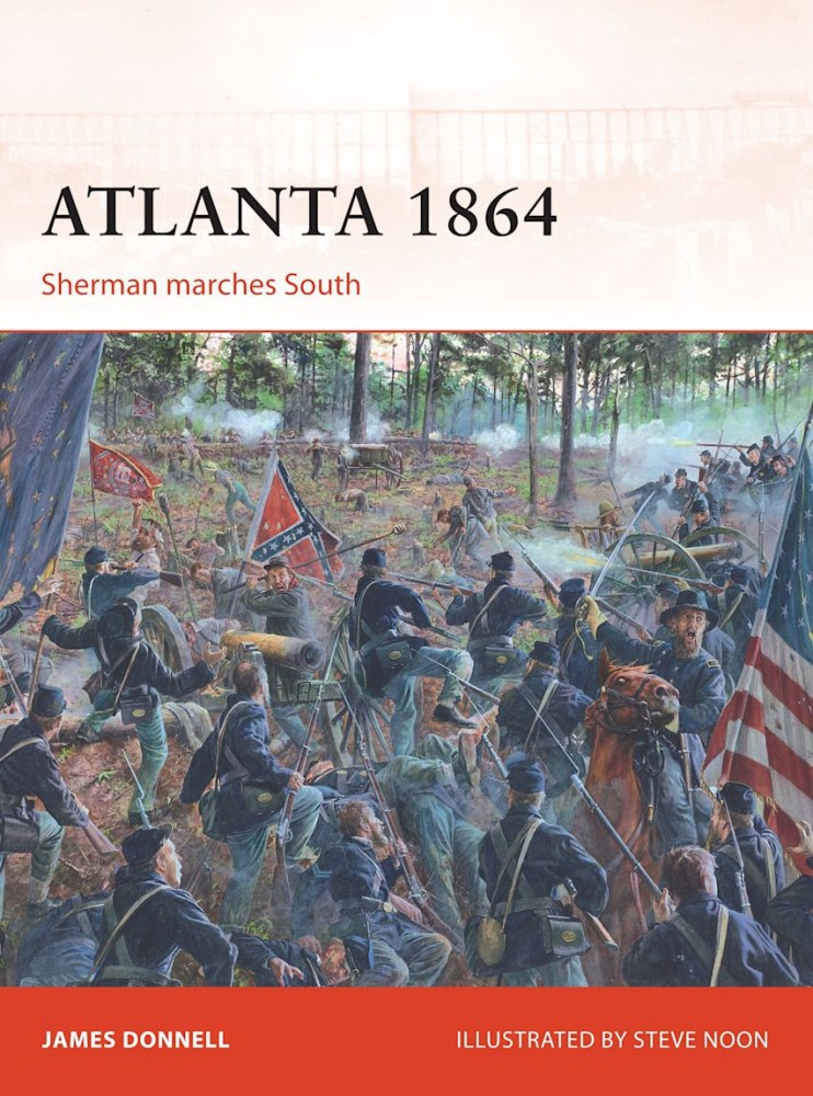
In this volume author James Donnell explores the entire Atlanta campaign, from Sherman's initial clashes with Joseph E. Johnston's army of Tennessee to the final Confederate resistance under General John Bell Hood.
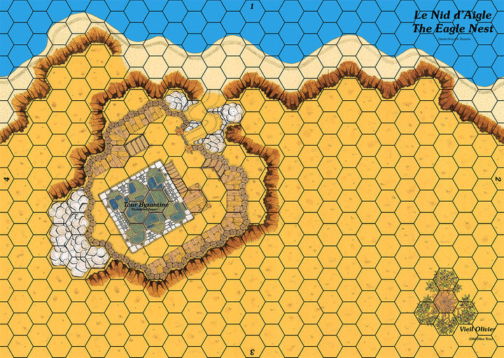
Map showing a stone tower protected by a wooden palisade and overlooking a coast.
The map meets the Cry Havoc standard, is printed in high definition (300 dpi) and on a strong varnished cardboard similar to that of the original maps.
This map is a component of the GUISCARD 2 boxed set.
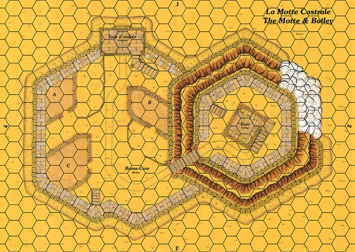
This map represents a wooden tower at the top of a motte overlooking a bailey. This typical 11th century fortification was widely used by the Normans to extend their domination over England.
The map meets the Cry Havoc standard, is printed in high definition (300 dpi) and on a strong varnished cardboard similar to that of the original maps.
This map is a component of the DIEX AÏE boxed set.


